The High Atlas gets the visitors and the Middle Atlas gets the cedars. The Anti-Atlas, running southwest from the Drâa toward the Atlantic, gets almost nobody — and it is the oldest of the three by a very long way.
These are Precambrian rocks, worn down over a timescale that makes the High Atlas look like recent construction. Nothing here is sharp. The ridges are rounded, the valleys are wide, and the whole range has the settled look of mountains that finished arguing a long time ago.
Tafraoute and the granite
The obvious base is Tafraoute, sitting in a bowl of pink granite in the Ameln valley. The rock genuinely is pink — it is not a trick of the light, though it does turn properly red for about twenty minutes after sunrise and again before sunset.
Around the town the boulders are enormous, rounded and piled in ways that look deliberate. Among them, a Belgian artist painted a group of them blue in 1984. The Painted Rocks have faded and been repainted since, and opinion locally is divided between mild pride and mild bafflement. They are worth the short trip mostly for the strangeness of the walk out.
Jebel L'Kest
The serious walking objective is Jebel L'Kest, at 2,359 metres — a long quartzite ridge above the Ameln valley. It is a full day up and back from one of the valley villages, on paths that were built for people going somewhere rather than for recreation.
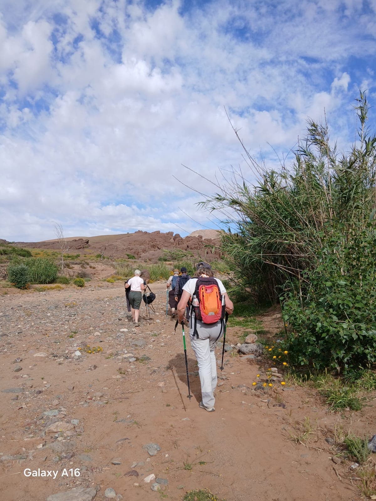
This is the character of walking in the Anti-Atlas generally. The trails are agricultural and social infrastructure: they connect villages to fields, fields to water, and villages to each other. You walk between inhabited places rather than through wilderness.
Almond season
Late February and early March is when to come, and it is genuinely worth planning a trip around. The almond terraces across the whole range flower at once, and the effect against the red rock is the single most photographed thing in the Anti-Atlas for good reason.
It is also cool — this is a winter and shoulder-season range. Summer here is punishing and most sensible visitors go to the High Atlas instead. October to April is the window.
The agadirs
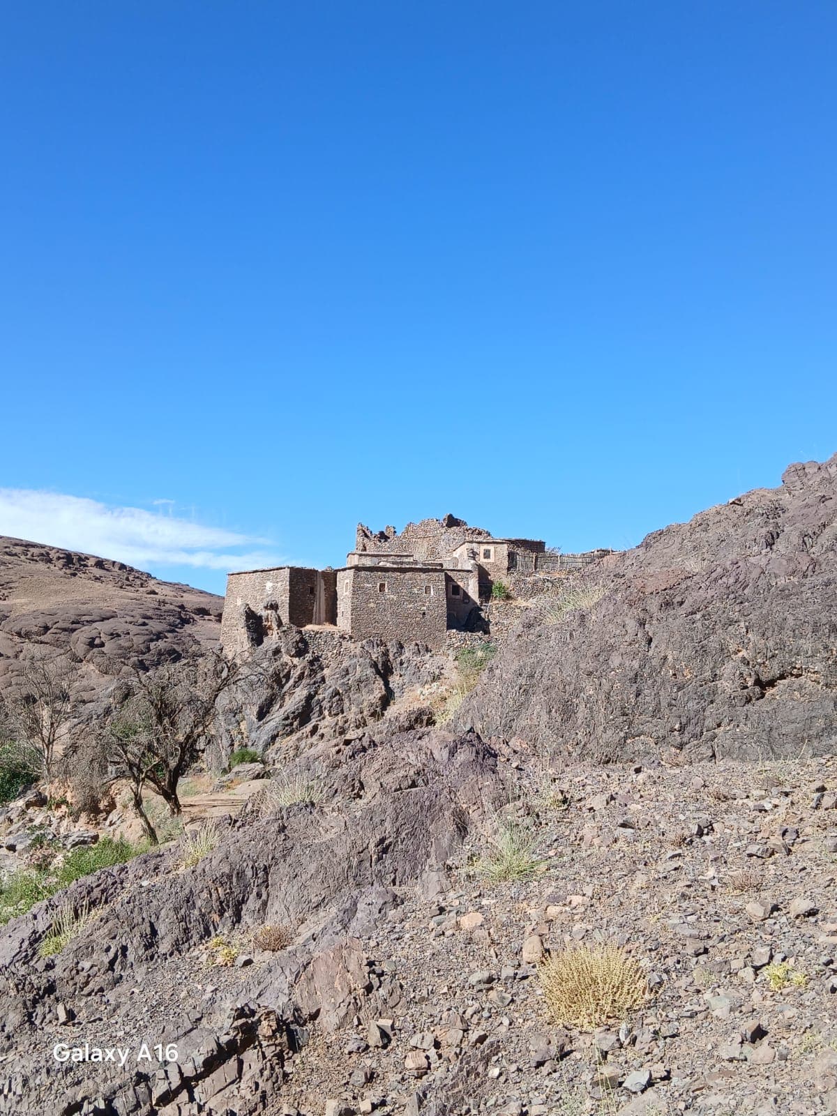
Scattered through these mountains are agadirs — fortified collective granaries, usually on a defensible outcrop above a village. Each family held a locked cell inside for grain, oil, documents and valuables, and the whole structure was managed by community agreement with an appointed keeper.
Many are ruined. A few have been restored, and one or two can be visited. They are worth seeking out because they are architecture that explains a social system: a building whose entire purpose is collective insurance against a bad year or a raid.
Getting there and around
Agadir is the nearest airport, and Tafraoute is roughly three hours inland by road. A hire car is close to essential — buses exist between the larger towns but the valleys are the point, and they do not have services.
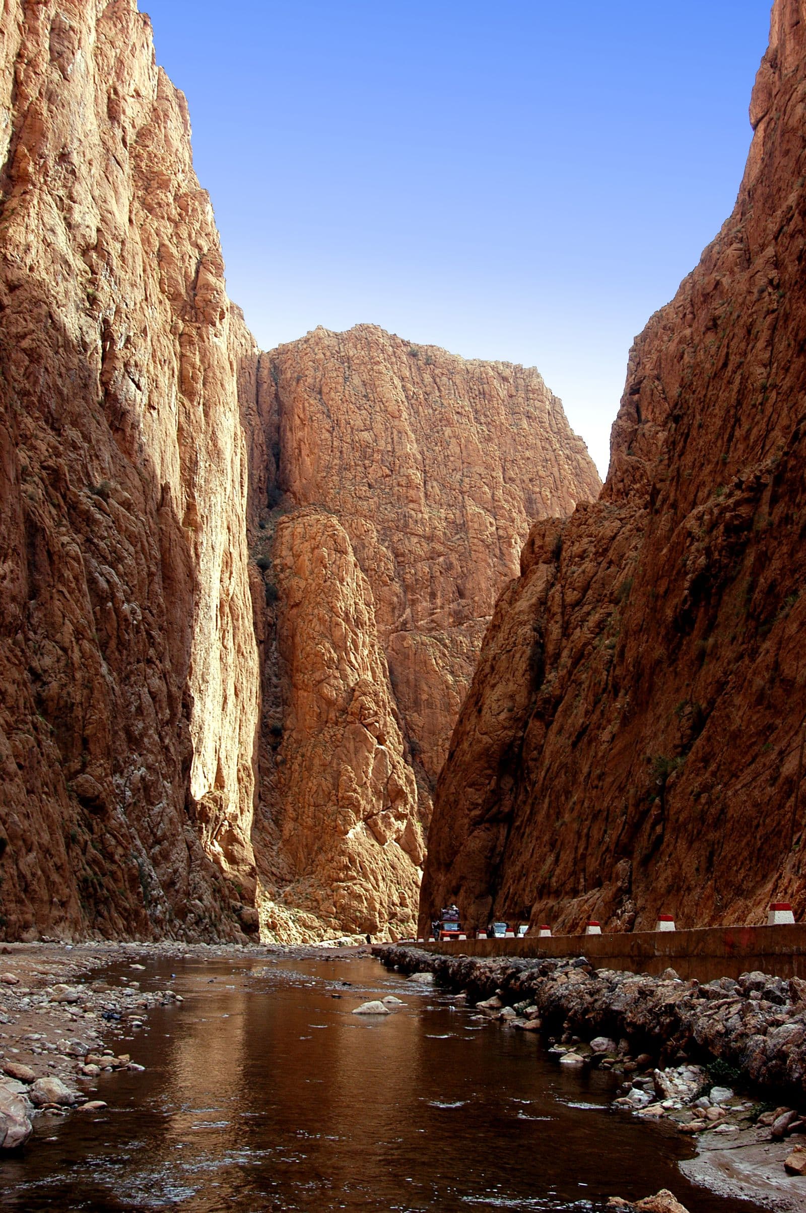
The roads are quiet, in good condition, and spectacular. The stretch from Tafraoute south toward Tiznit through the Ait Mansour gorge is one of the best drives in Morocco and almost nobody is on it.
Why it stays empty
Partly distance, partly that it lacks a single headline sight. There is no Toubkal, no Erg Chebbi, no Jemaa el-Fna. What there is instead is a large, inhabited, beautiful range where the walking is easy, the villages are unguarded about visitors, and the light in February is extraordinary.
If that reads as a recommendation, it is meant as one.