If Toubkal is the mountain everyone climbs, M'Goun is the one people come back for. At 4,068 metres it is barely a hundred short of Toubkal, and on a normal week in June you will meet a fraction of the traffic. The reason is simple logistics: it is further from Marrakech, it cannot be done in a weekend, and it does not appear on the standard tourist circuit.
That is the whole argument for going.
Starting in the Happy Valley
The traverse begins in Aït Bougmez, in the Central High Atlas — a broad, flat, irrigated valley that people call the Happy Valley and, unusually for a nickname aimed at visitors, it is a fair description. Flat-roofed villages sit at the edge of the fields rather than in them, because the flat land is too valuable to build on. That single planning decision tells you most of what you need to know about mountain agriculture here.
Getting there from Marrakech takes the better part of a day. That is the price of admission.
Six days, north to south
The classic version runs six days and crosses the massif from the north side to the south, which means the landscape genuinely changes underneath you rather than repeating.
Day one is short — three hours or so up to a first camp around 2,200 to 2,300m, mostly to get the mules loaded and everyone walking.
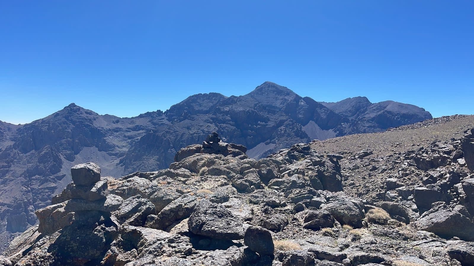
Day two climbs toward the Tizi n'Tarkeddit pass at about 3,450m, and this is where M'Goun first appears as an actual objective rather than a name.
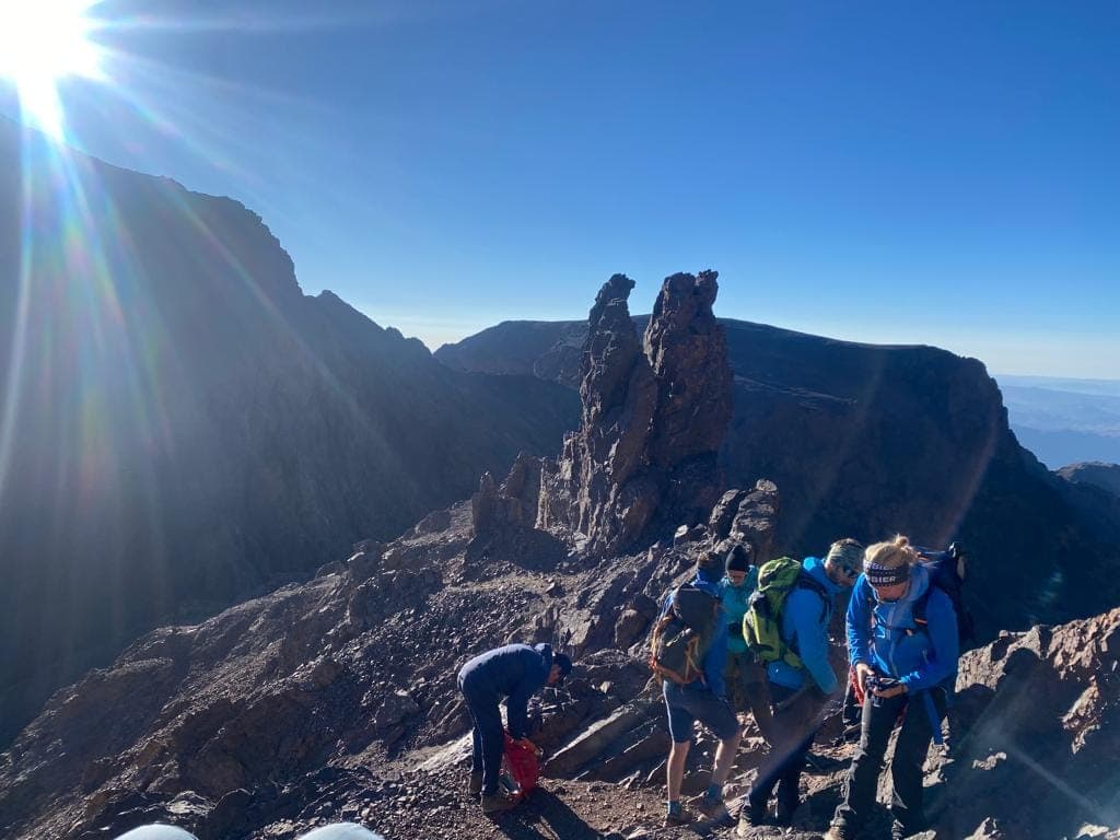
Day three is the summit: roughly eight hours, and from the top you can see the Central High Atlas laid out, the Dadès valley, and on a clear day the haze where the Sahara begins.
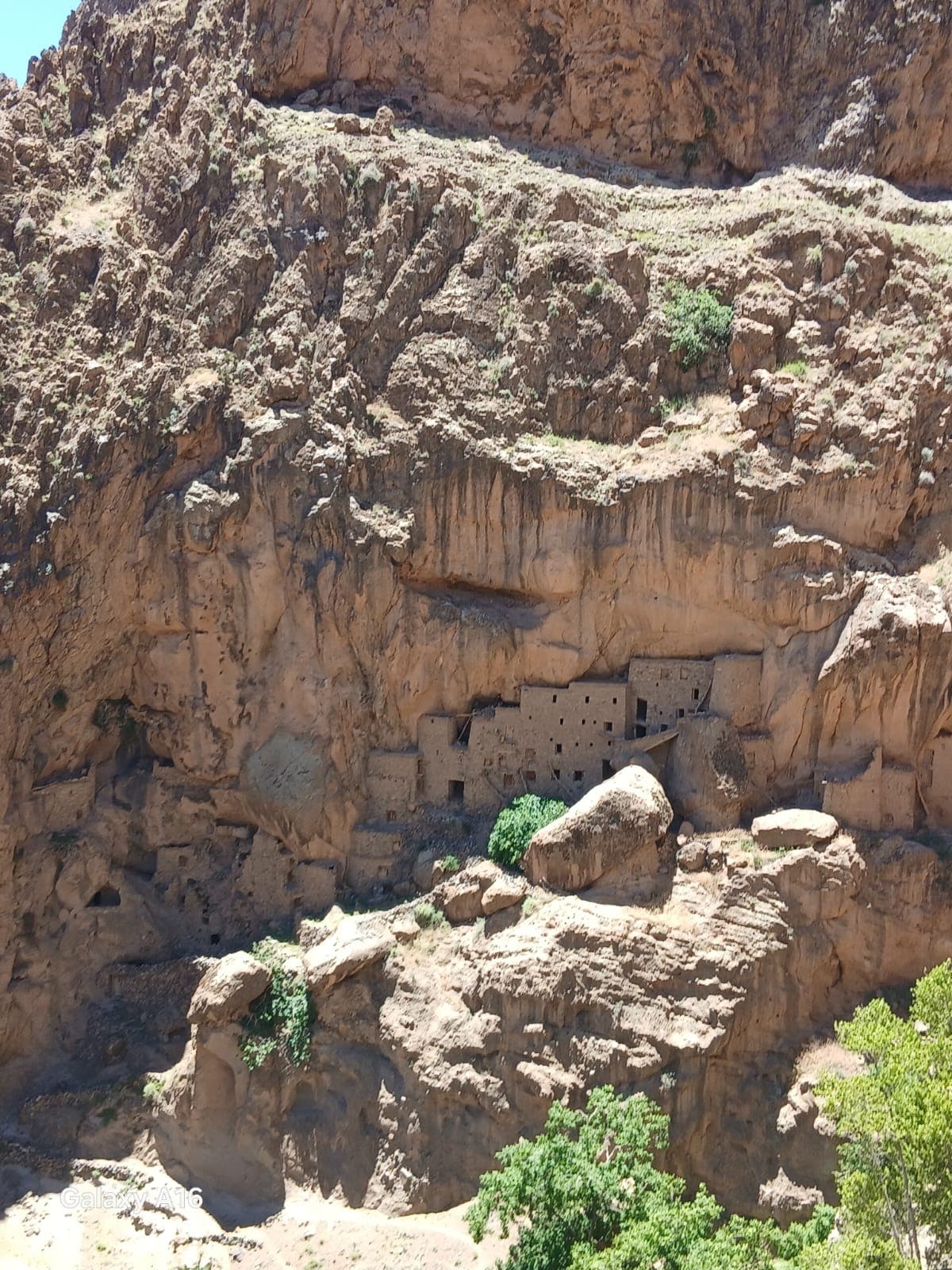
Days four to six descend south through the gorges, and this is the part people remember. The Aït Bougmez side is agricultural and green; the southern side is rock, water and shade. In places the trail is the riverbed, and you walk in it.
Mules, not porters
The trek runs on mules, and the muleteers are usually from the valley you started in. This matters practically — mules dictate the route, because they cannot go everywhere you can — and it matters ethically, in that the money stays local rather than leaving with an operator from the city.
Camping is in tents, most nights beside a village or a summer grazing settlement. There are no refuges on this route.
Water and shoes
Two practical notes that people get wrong.
Water. The southern gorges are wet. Depending on the season and the year you will cross the river repeatedly, sometimes knee-deep. Trail shoes that drain are better than heavy boots that hold a litre each. Bring sandals for camp.
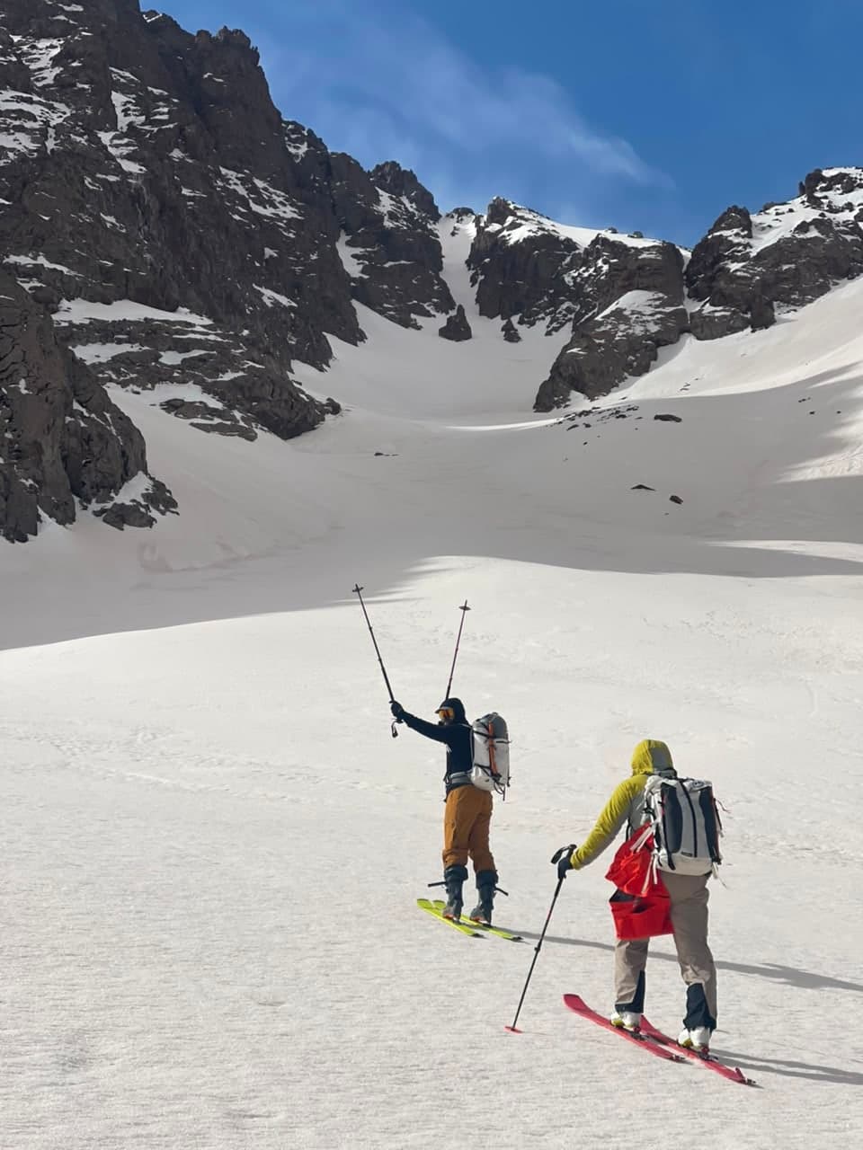
Season. May to October. Earlier and the passes hold snow; later and the nights at 3,000m stop being fun. June and September are the sweet spots — September especially, when the river is lower and the light is better.
Who it suits
Anyone comfortable walking six or seven hours a day, several days running, at altitude, sleeping in a tent. It is not technical. It is not dangerous. It is simply long, and long is its own kind of difficulty.
If your walking so far has been day hikes, do Toubkal first — not because M'Goun is harder underfoot, but because six consecutive days teaches you things about your feet that one day does not.