Jebel Toubkal is 4,167 metres, the highest point in North Africa, and it does not require a rope, a harness or any technical skill at all between roughly April and October. This combination is exactly why it gets people into trouble. A mountain that asks nothing of your hands can still ask a great deal of your lungs, and the gap between "no climbing required" and "no effort required" is where most failed attempts live.
The rule you cannot opt out of
Since 2019 a registered mountain guide has been mandatory inside Toubkal National Park. This is not a suggestion, not a soft recommendation in a guidebook, and not something that quietly lapsed. It followed a killing of two Scandinavian trekkers near Imlil in December 2018, and it is enforced.
Practically, it means your trip has a fixed floor cost, and it means you should stop reading itineraries that describe soloing the mountain — they predate the rule. It also means the quality of your week depends heavily on one person, so it is worth asking who specifically is guiding you rather than booking a company and hoping.
The shape of the standard route
Almost everyone walks the same line, and it is genuinely the best one.
Imlil (1,740m) to the refuge (3,207m). Four to six hours, gaining about 1,450 metres. The path goes through Aroumd, past the shrine at Sidi Chamharouch, and then up a long valley that gets progressively barer. There is no shade worth the name after the first hour.
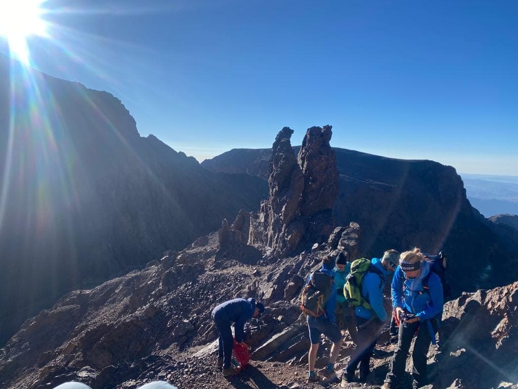
The refuge to the summit. Three to four hours up, two to three back down. Most groups leave between 5 and 6am, partly for sunrise and mostly because afternoon weather on the summit ridge is worse than morning weather, reliably.
Back to Imlil. The same valley in reverse, which is longer on the knees than anyone expects.
Two days is the standard. Three is better, and the extra day is not laziness — it is acclimatisation, and it is the single change most likely to get you to the top feeling human.
Altitude is the actual difficulty
The refuge sits at 3,207m. That is high enough that a meaningful number of people sleep badly, eat poorly and wake with a headache. The summit is nearly a kilometre higher again.
None of this is dangerous in the way that 6,000m is dangerous, but it degrades a day considerably. If you have come from sea level and driven straight from Marrakech, you have given your body no chance at all. A night in Imlil before you start is a cheap and effective intervention.
Drink far more than feels necessary. Walk slower than feels necessary. The Moroccan guides' pace — which visitors often find frustratingly slow on the first morning — is correct, and by the second day most people have stopped complaining about it.
Seasons, honestly
May, June and September are the best months. Stable weather, no snow on the standard route, long daylight.
April and October work without specialist equipment in most years, but the shoulder is a real thing: an early or late storm changes the mountain.
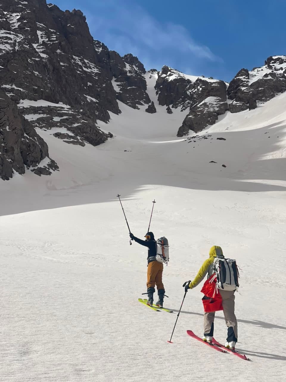
November to March is a winter mountaineering objective. Crampons and an ice axe, and the knowledge to use both. Every year people arrive in trainers in February having read a summer trip report. The summit ridge in snow is not a walk.
July and August are climbable but hot at the bottom and crowded at the top. The refuge books out.
What the refuge is like
Shared dormitories, mattresses, blankets of varying enthusiasm, hot meals, and drinking water. It is not a hotel and is not pretending to be. Bring a sleeping bag liner, earplugs and a head torch. There is usually electricity in the evening. There is usually not hot water.
It is also, on a clear night, one of the best places in Morocco to stand outside at 9pm and look up.
Booking
Spring and autumn are busy — the refuge and the better guides both fill. If you are travelling in May, June or September, arrange things weeks ahead rather than on arrival in Marrakech.
If you want more mountain than Toubkal alone, the traverse over to the M'Goun massif is the obvious next step: longer, emptier, and with a summit only a hundred metres lower.