Chefchaouen is on every Morocco itinerary and in every photograph, and there is a mild backlash against it for that reason. The backlash is wrong. The town is genuinely beautiful, the setting under the twin peaks of the Rif is dramatic, and it is small and calm in a way that Marrakech and Fez are not.
It also takes about a day and a half to see properly. The question is what you do with the rest of the time, and the answer is the mountains behind it.
The blue, briefly
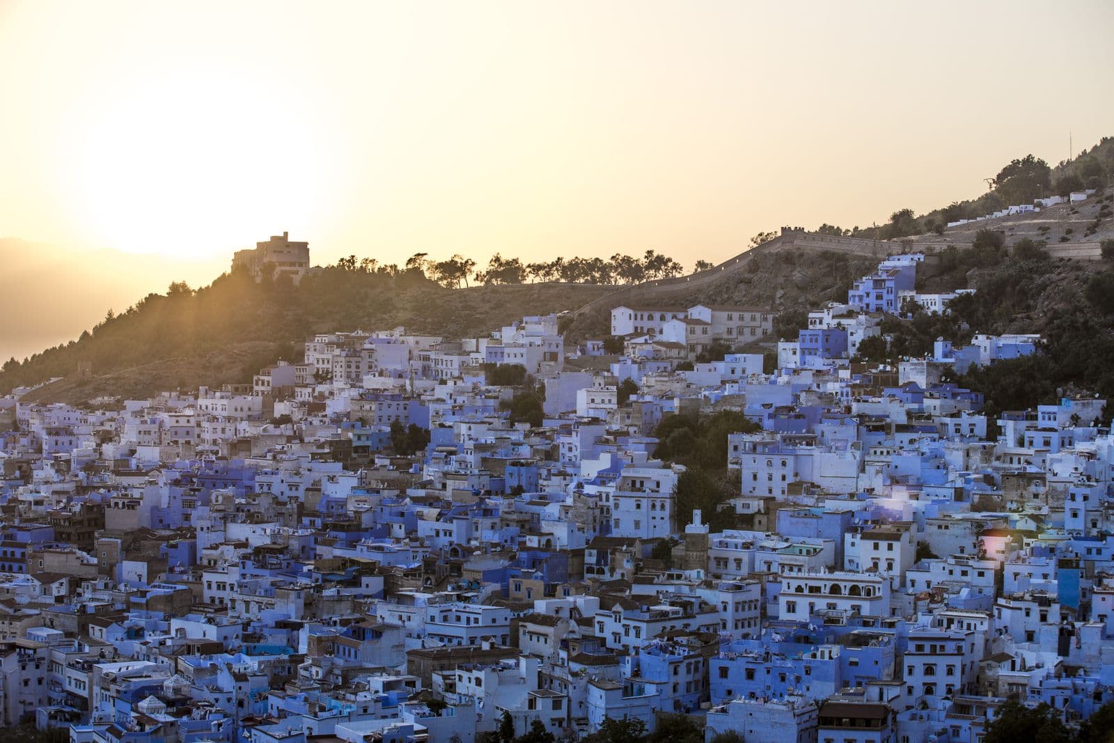
Nobody agrees why it is blue. The competing explanations are: that Jewish refugees who settled here in the 1930s brought the tradition, blue representing the sky and the divine; that it repels mosquitoes; that it keeps buildings cool; and that at some point it started attracting visitors and became self-reinforcing.
The last one is certainly true now, whatever started it. Streets are repainted regularly and the shade is maintained deliberately.
The best hours are early morning, before the day-trip buses arrive from Fez and Tangier, and the hour before sunset. Between eleven and four the main lanes are busy.
What to actually do in town
The kasbah in the main square — a small Andalusian fortress with a garden and a tower worth climbing.
Plaza Uta el-Hammam for a coffee and to watch the town rather than photograph it.
The Spanish Mosque on the hill opposite — a thirty-minute walk up, abandoned, and the standard sunset viewpoint over the whole blue town. Go for sunset and take a torch for the way down.
The ras el-Maa waterfall at the top of the medina, where the town's water comes out of the mountain and where women still bring washing.
The part people skip: Talassemtane
Behind Chefchaouen is Talassemtane National Park, and it is the least-walked serious mountain area in Morocco.
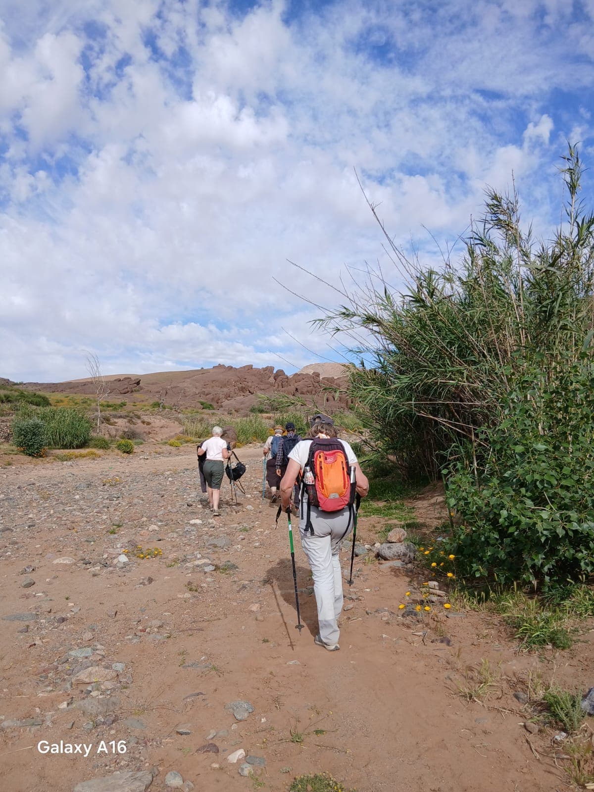
The Rif is different from the Atlas in character — wetter, greener, forested with fir and cedar, and much lower at around 1,600 to 2,100 metres for the walkable peaks. It rains here, genuinely, and the vegetation shows it.
The Akchour walk is the standard day: an hour's drive from Chefchaouen, then a riverside trail to a series of pools and waterfalls, with a branch to God's Bridge — a natural stone arch a hundred metres above the river. Three to five hours depending on which branch you take. It is busy at weekends with Moroccan families and quiet midweek.
Jebel el-Kelaa, the peak directly above Chefchaouen at 1,616 metres, is a five-to-six-hour return walk from the town itself. Steep, mostly unmarked, and with the best view of the town from above.
Longer treks in Talassemtane run three to five days between villages, and almost nobody does them. A local guide is close to essential — the paths are not waymarked and the villages are not set up for walkers.
The thing to know about the Rif
The Rif is Morocco's cannabis-growing region, and has been for a very long time. The Ketama area in particular has a reputation and it is deserved.
Practically: you will be offered hashish in Chefchaouen, repeatedly and openly. It remains illegal. Buying it from a stranger who approaches you on the street is a well-documented setup, and the road from Ketama has police checkpoints. Decline and move on; nothing more dramatic than persistence is likely.
This is not a reason to avoid the region. It is a reason not to be naive in it.
Getting there
Chefchaouen has no airport and no train. It is roughly four hours from Fez, two and a half from Tangier, and four from Tetouan. Buses are frequent and comfortable; grand taxis are faster and shared.
It fits naturally between Tangier and Fez, which is the sensible way to include it rather than as a return trip from anywhere.
How long
One night to see the town. Three to walk Akchour and Jebel el-Kelaa as well. A week if you want to walk the park properly, which almost nobody does and which is the best argument for going at all.