Zum Inhalt springen
Life TimesTravel

Der Atlas

Hoher Atlas, Antiatlas und Mittlerer Atlas — Pässe, Täler, Dörfer und die Straßen, die sie verbinden. Das Rückgrat, das über Marokkos Wetter, Wasser und Siedlungsräume entscheidet.

5 Beiträge

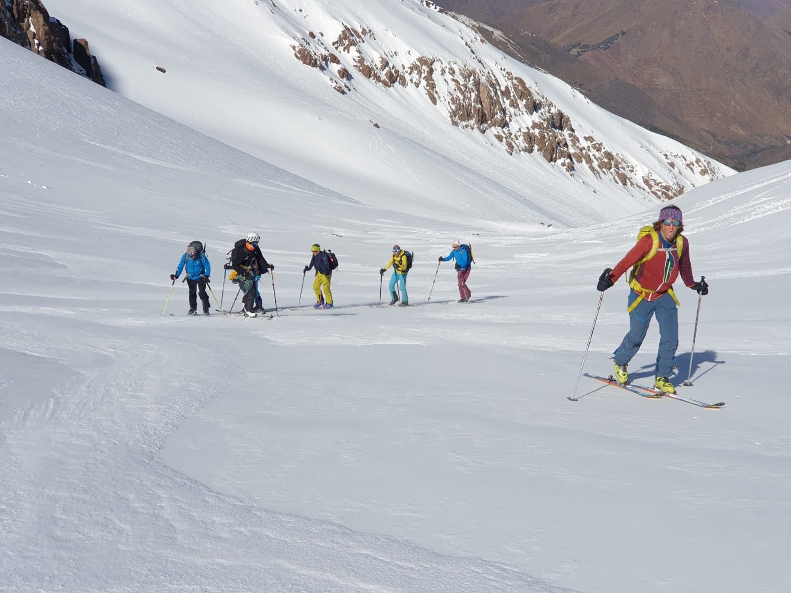
A line of ski tourers skinning up a broad snow slope in the High Atlas, bare brown ridges and a valley visible far below
Berge
High Atlas

Ski Touring and Splitboarding in the High Atlas

Skinning up 4,000-metre peaks with the Sahara on the horizon. The season, the routes off Toubkal and Oukaimeden, avalanche reality, what to bring, and why Morocco is the most underrated touring country in reach of Europe.

7 Min. Lesezeit
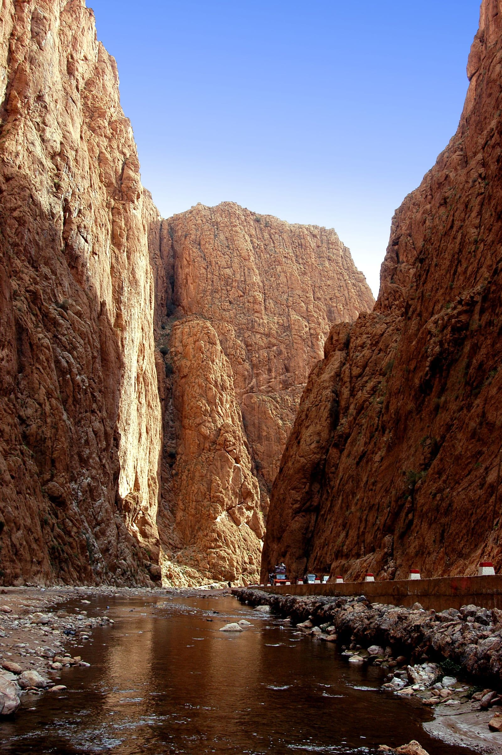
Sheer rock walls rising above a narrow gorge floor and a shallow stream
Berge
Anti-Atlas

The Anti-Atlas: Morocco's Quiet Mountains

Older than the High Atlas, lower, drier and almost empty of visitors. Painted rock, almond terraces, and granite the colour of rust.

3 Min. Lesezeit
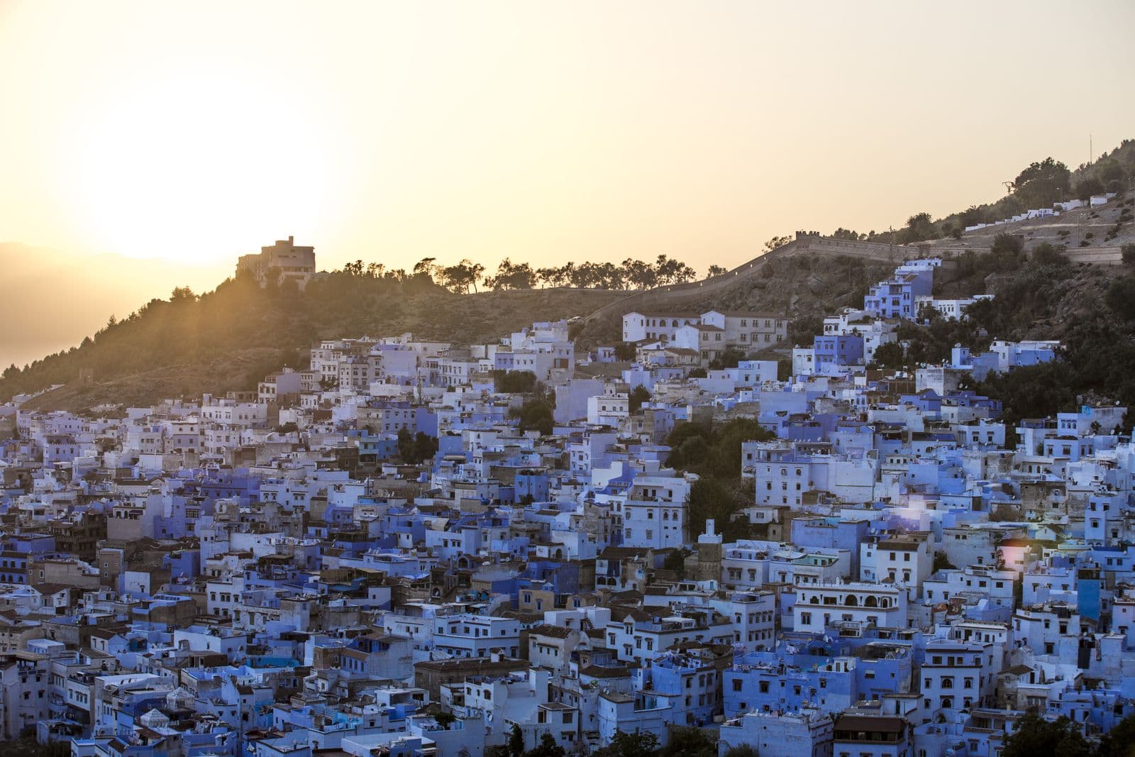
Blue-washed walls and staircases in the medina of Chefchaouen
Berge
Rif Mountains

Chefchaouen and the Rif, Beyond the Blue

The blue town is genuinely worth the trip and takes about a day. The mountains it sits in are the least-visited range in Morocco and take considerably longer.

3 Min. Lesezeit
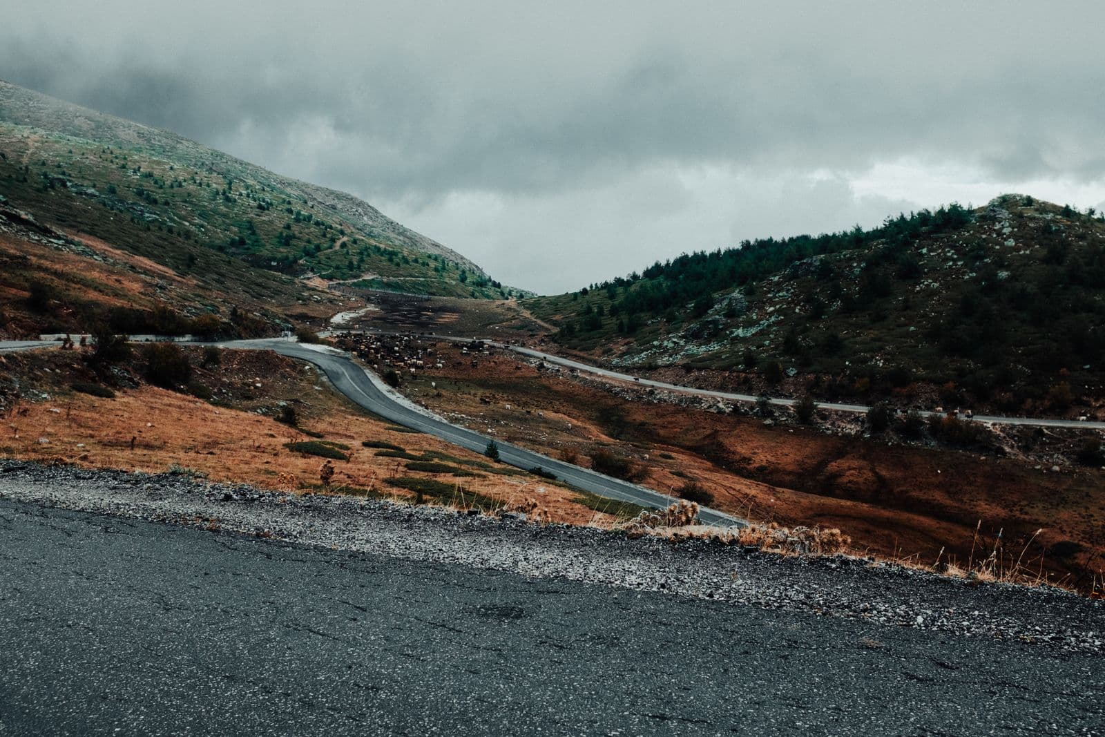
A winding mountain pass road cutting through bare upland slopes under heavy cloud
Berge
High Atlas

The Road Over Tizi n'Tichka

Two thousand two hundred and sixty metres, a hundred and eighty kilometres of switchbacks, and the moment the country changes completely.

2 Min. Lesezeit